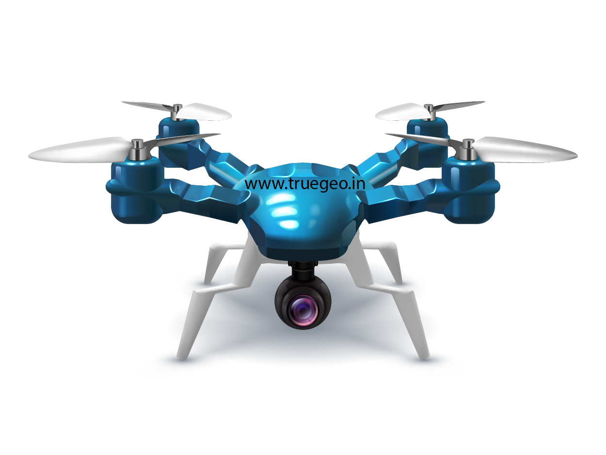
UNMANNED AERIAL VEHICLE
We provide Unmanned Aerial Vehicle Services for

Advantages of our UAVs are that it is readily available at short notice. Flexibility to use at short notice is one of the noteworthy advantages of UAV instruments. As a relatively new method of geospatial data collection, drone (or UAV/UAS) technology neatly complements existing techniques, filling the existing data gap between large-area satellite and manned aircraft imagery, and smaller coverage, time-consuming, but highly accurate collection using terrestrial surveying instruments.
We deliver wide range of outputs using UAVs for different applications such as Mining, Topographical mapping, GIS base maps, Agriculture & Forestry
1. Survey with Geotagged images
2. Point Cloud Data
3. Digital Surface Model
4. Digital Terrain Model
5. Orthomosaic photos
6. Feature Extraction
7. Landuse Land Cover mapping
8. Contour Maps
9. Topo Plan with CAD
10. 3D Models and Buildings
11. Drone Videography
12. Various indices (eg: NDVI) and Crop assessment
13. Thermal images and Temperature mapping
14. Research and Development
