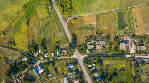
ORTHOPHOTO
1. Aerial photos are post-processed to generate orthophotos
2. Orthophotos are of uniform scale and provide a mathematically correct representation of ground distances. This makes them valuable to use as reference imagery or as part of a base data set in a map.
3. The process of creating orthophotos includes
4. Correcting naturally occurring distortions in the aerial photos resulting from the perspective view of the camera

