INDUSTRY

RENEWABLE ENERGY

Drones provide safe, efficient inspections for applications across the renewable energy

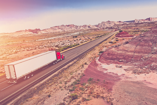
TRANSPORTATION

The other information such as elevation and positioning also influences the road design.

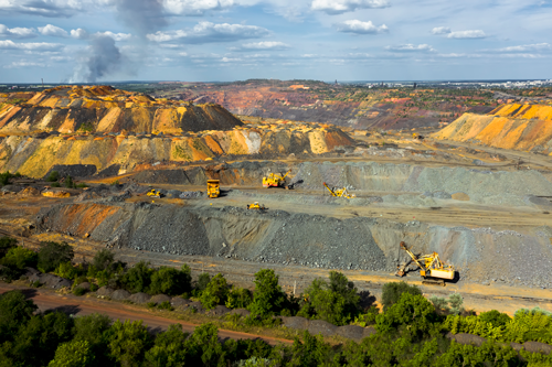
MINING AND QUARRYING

Using drone can collect timely, georeferenced imagery that is quickly transformed into a precise 3D copy of your site


DISASTER MANAGEMENT

The drone technology is widely used in Disaster managementĀ Applications are in Disaster management.

ENVIRONMENTAL IMPACT ASSESSMENT

The operation of environmental impact assessment


RECREATION AND REALESTATE

Geospatial data will provide you with a distinct advantage for all operational aspects of your recreational facility

FORESTRY

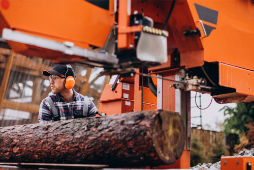
This forestry industry is a major cornerstone of the Canadian economy ..


GOVERNMENT

Urban decision making increasingly requires urban land-use andland-cover maps generated from very high spatial resolutiondata.


SURVEY AND MAPPING

Governments, scientific organizations, and commercial operations throughout the world

CONSTRUCTION AND INFRASTRUCTURES

A drone is mainly used in the construction industry for surveying and inspection purposes.

PRECISION AGRICULTURE

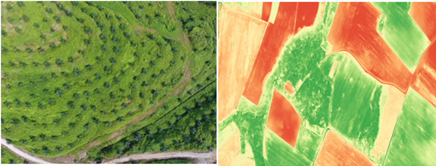
Drones are new platforms that have been increasingly used in the last few years for Agriculture