PRECISION AND AGRICULTURE

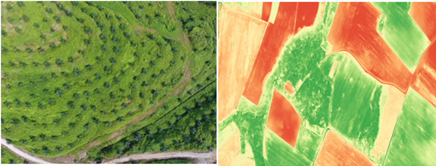
Drones are new platforms that have been increasingly used in the last few years for Agriculture applications that benefit from the added value of flexibility, low cost, reliability, autonomy, and capability of timely provision of high-resolution data. The main adopted image-based technologies are RGB, multispectral and thermal infrared. LiDAR sensors are becoming commonly-used to improve the estimation of relevant Crops. In comparison with other permanent ecosystems, agriculture is particularly affected by climatic changes due to the longevity of the crops and the primary objective is the conservation and protection of agriculture. Nevertheless agriculture involve the cultivation of renewable raw materials the difference is that forestry is less tied to economic aspects and this reflects the delay in using new monitoring technologies. The main forestry application aim to inventory resources, map diseases, species classification, fire monitoring and spatial gaps estimation. This Special Issue focuses on new technologies (UAV and sensors) and innovative data elaboration methodologies (object recognition and machine vision) for applications in forestry. Drone based forest and landscape mapping to provide a new perspective for valuation, monitoring and research. Hundreds of pictures taken by drones are stitched together to large and high resolution orthomaps. These orthomaps can then be integrated into GIS systems and used for analysis, planning and management
Drone technology adds value throughout for Crop growing season, from monitoring plant emergence right through to pre-harvest yield prediction and drainage planning for the next season. The ability to choose the time of observation is also important in agricultural applications and particularly for deriving suitable information to support crop yield prediction. Use of NDVI (Normalized Difference Vegetation Index) has been common practice for many years to measure and monitor plant growth (vigor), vegetation cover, and biomass production. Using UAVs to collect this data provides a cost effective solution for up to date view of any given area.
1. Tree growth
2. Plant stress assessment.
3. Yield monitoring
4. Chlorophyll indication
5. Drought assessment
6. Biomass indication
7. Leaf area indexing
8. Nitrogen recommendation
9. Phenology
10. Growth monitoring
11. Leaf area indexing and Irrigation management system
12. Tree classification
13. Plant counting
