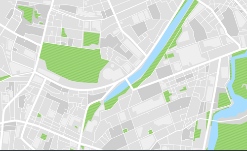
GIS BASE MAPPING

1. Enchance the analysis of geodata
2. Field survey with GPS or DGPS
3. Capturing High Resolution geotagged images (RGB,MSS, TIR)
4. Create meaningful and intelligent maps used to share and publish new information
5. Organize project data sets in thematic layers which stack on top of each other
Governments, scientific organizations, and commercial operations throughout the world use Drone and GIS technology to facilitate timely decisions and wise use of resources. Any organization or agency that requires accurate location information about its assets can benefit from the efficiency and productivity provided by Drone Data outputs.
