MINING AND QUARRYING
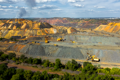
Using Drone, we can collect timely, georeferenced imagery that is quickly transformed into a precise 3D copy of your site. You can then use this digital version to calculate volumes, perform site surveys, optimise traffic management, and design road layouts. Projects in the mining sector differ greatly in their objectives depending on the stage of each mine’s life cycle. Ranging from exploration studies, monitoring extraction progress, managing mine safety to environmental impact studies of active and inactive operations, the capabilities of analysing geodata facilitates the extraction of vast amounts of intelligence. Combining several sources of data will ultimately provide you with a profound solution to your challenges.
.

Drone solution provides critical information in the following areas:
1. Stockpile volumes and end-of-month reconciliation
2. Terrain mapping and change detection
3. Asset management and scheduling
4. Situational awareness and emergency response
5. Infrastructure and equipment inspection
6. Security and surveillance
